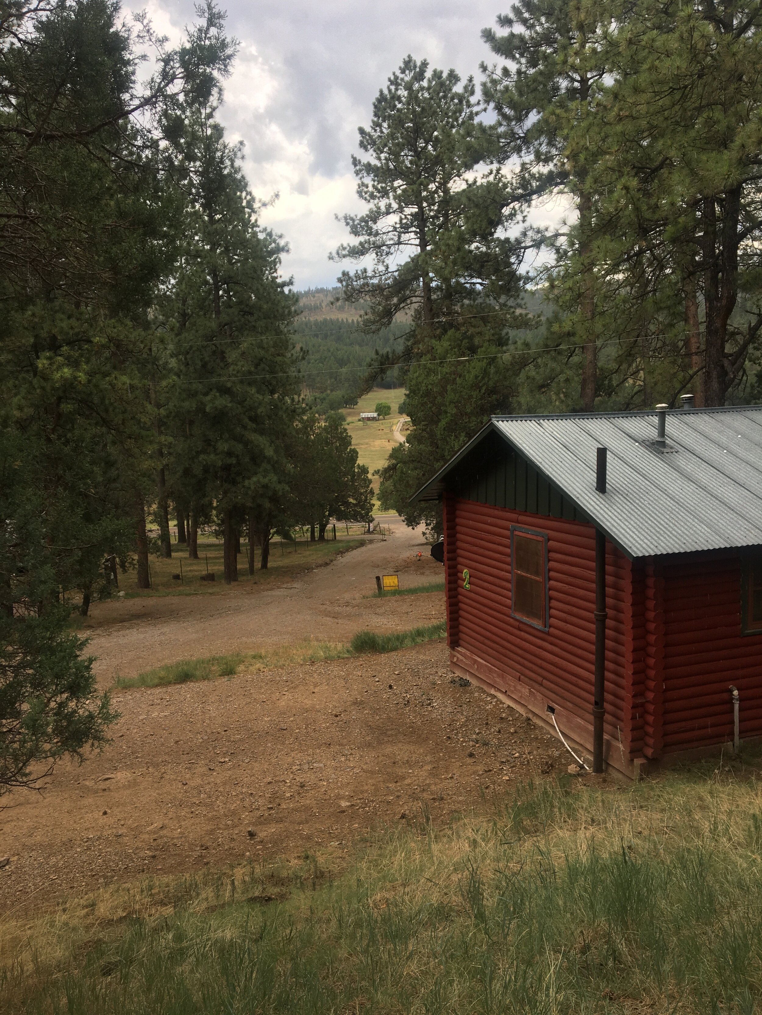
We spent three nights in a cabin at the Lazy Days Cabin and RV Park. I had packed enough food so that we did not have to eat out any. We got in some good hikes; though rated easy –to- moderate, they were at nearly 9,000 feet a bit challenging for us old-timers used to an altitude of 38 feet above sea level. We were glad to have our walking sticks to help us up the inclines. Some glorious views out over the valley, White Sands, a glistening, iridescent white strip on the valley floor. You could almost see the sand being whipped up by the wind and the ozone rays coming down from the sky in that far-off sliver of white. When I was a kid and we would go up to Cloudcroft to get out of the Carlsbad summer heat, we would go down to White Sands and play on the dunes. But in July, it was too hot for us to even think about going to the dunes. The mountains were cool and green, just what we needed. It was so wonderful to be in the quiet of the forest, the trees, the space, the cool. As I thought some about John Muir, the great naturalist and walker, I wished that I knew more biology and botany. I wished I knew which birds were calling to each other, the names and histories of the trees. I did see pine trees, ash, oak. But even in my ignorance, what a wonderful escape from home and computers, to get into the western mountains.
Our last day in the mountains, we went to the Three Rivers Petroglyph Site, in the desert Tularosa Basin to the west. On the way through the valley, we saw orchards, pecan and pistachio, vineyards and wine-tasting stations. One place with a giant pistachio nut in the parking lot, advertised pistachios and wine tasting. We just kept going, but the idea of what wine to pair with pistachios was intriguing. At the Site, the only other person we saw was the park host, a guy who lives in his RV on the parking lot and takes care of the place. There are around 21,400 petroglyphs made by the Jornado Mogollon indigenous people who lived in the area from about 200 to 1450 A.D. The drawings are on seemingly random rocks clustered along a hillock. They feature some animals—big horn sheep, fish, lizards, snakes, birds—humans, circular drawings that may represent the sun or skies, and geometric designs. One circle surrounded by dots also a directional cross in the middle that aligned with the compass that my husband had with him. One wonders what the purpose of the drawings might have been, storytelling, religious ceremony, calendaring events, giving directions to travelers? As we followed the rocky trail, keeping an eye out for rattlesnakes and etchings, I got a bit woozy in the July heat. The compass we used to check the directions showed the heat at 100 degrees. And it was only about 10:00 in the morning.
We took the long way back to the cabin via Ruidoso, where we bought a few southwestern items. Shopping with a mask on is a bit off-putting. I don’t feel like I can really talk to the salespeople or hear them. Some visitors and shoppers in the tourist district were wearing masks, but then some were not. Ice cream sounded good on that hot afternoon, but seeing families slurping their cones on the sidewalks squashed the appeal of that idea. Not during a COVID outbreak. We tried to find a picnic table in town so we could eat our sandwiches, but the GPS kept sending us to places that may once have had tables but were now residential areas. At least we got to see some of the Ruidoso homes, many of which featured a wooden carved bear in the front yard. The only elk we saw during our trip were three great beasts munching the grass on someone’s lawn.
To return to our cabin, I suggested we drive to Mescalero and through the Mescalero Apache reservation. The GPS routed us on a short cut that turned into a dirt road with a sign announcing that passage was prohibited to non-reservation travelers. So, we turned around and tried another route off the reservation. I did get a picture of St. Joseph’s church, established in 1889. The last time we were there, we went inside the cathedral. I remember being impressed by the mix of Catholic and Native icons and decorations. But now, we were tired and wanted to get back to the cabin, to showers, drinks, dinner.
The next day, we headed home, doing the entire drive in 12 hours.
Signs of vacationing in the time of coronavirus: museums and forts closed; some camp sites and picnic areas closed; park ranger stations closed, hiking and camping maps set outside for visitors to help themselves; the attendant at one trail head/camp ground was set up in the shade outside of an RV. Usually when you travel in rural areas, there is a note in the ladies’ restroom not to flush tampons (ok—I get that) or used toilet paper—these both would go in the trash can. This time there was a sign to Please Flush your toilet paper because of the spread of germs. Signs at stores and restaurants that masks were required, even if this was not enforced and only partially complied with. A line of cars along the shoulder of the road outside the hospital in Ruidoso, most likely lined up for COVID testing.